|
Reported Crop Circles for the State
of Arkansas-
Tolleson, Maricopa County (May 18, 2005)
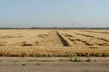
Several 400’ to 600’ parallel strips of flattened barley are reported by a passing trucker to a national, Spanish-language paranormal radio show. The ‘randomly-downed’ flattened lines primarily stayed between the tramlines, as there were mounds of dirt there for controlling flood irrigation.
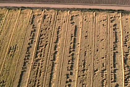
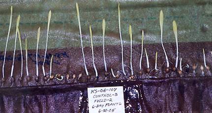
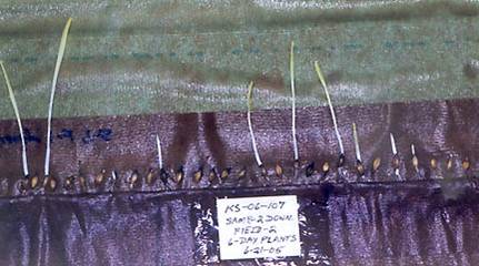
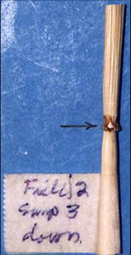
Soon after, ICCRA is notified, and two independent sets of plant samples are arranged to be collected: Rod ‘Bearcloud’ Berry collects one set which is sent to the ICCRA, and a second set collected by Kathy Doore and Stephanie Phelps which is sent to W.C. Levengood for independent analysis. Both ICCRA and W.C. Levengood find statistically elongated nodes using the L-NEAT test protocol, as well as expulsion cavities in both sets of samples. W.C. Levengood additional finds stunted seed growth in formation plants during his germination test.
This area west of Phoenix is archaeologically rich with Hohokom Indian canals built approximately 2,000 years ago for agriculture and which, in many cases, are still in use today.
Crop
type: barley
Sources: ICCRA investigation, Pinelandia Biophysical Laboratory lab Report 2005 No. KS-06-107, Rod ‘Bearcloud’ Berry, Kathy Doore
Photos: KTVK TV, W.C. Levengood, Kathy Doore
|
|
City
/ County / Date:
|


